One property and a decision that can still change.
- Authorised site boundary and permitted use
- Accountable owner, deadline and options still open
- Available drawings, asset data and known constraints
 Urban Ecotopia
Earth observation climate service
London, United Kingdom
Site heat evidence review · First design-partner stage
For commercial property teams facing a capital, refurbishment or resilience decision, we organise surface heat, vegetation, urban form, authorised asset data and visible evidence gaps around one live question.
The result is a versioned record showing what can advance, what should wait and why. Synthetic rehearsal only. No customer site, paid case or measured outcome is claimed.
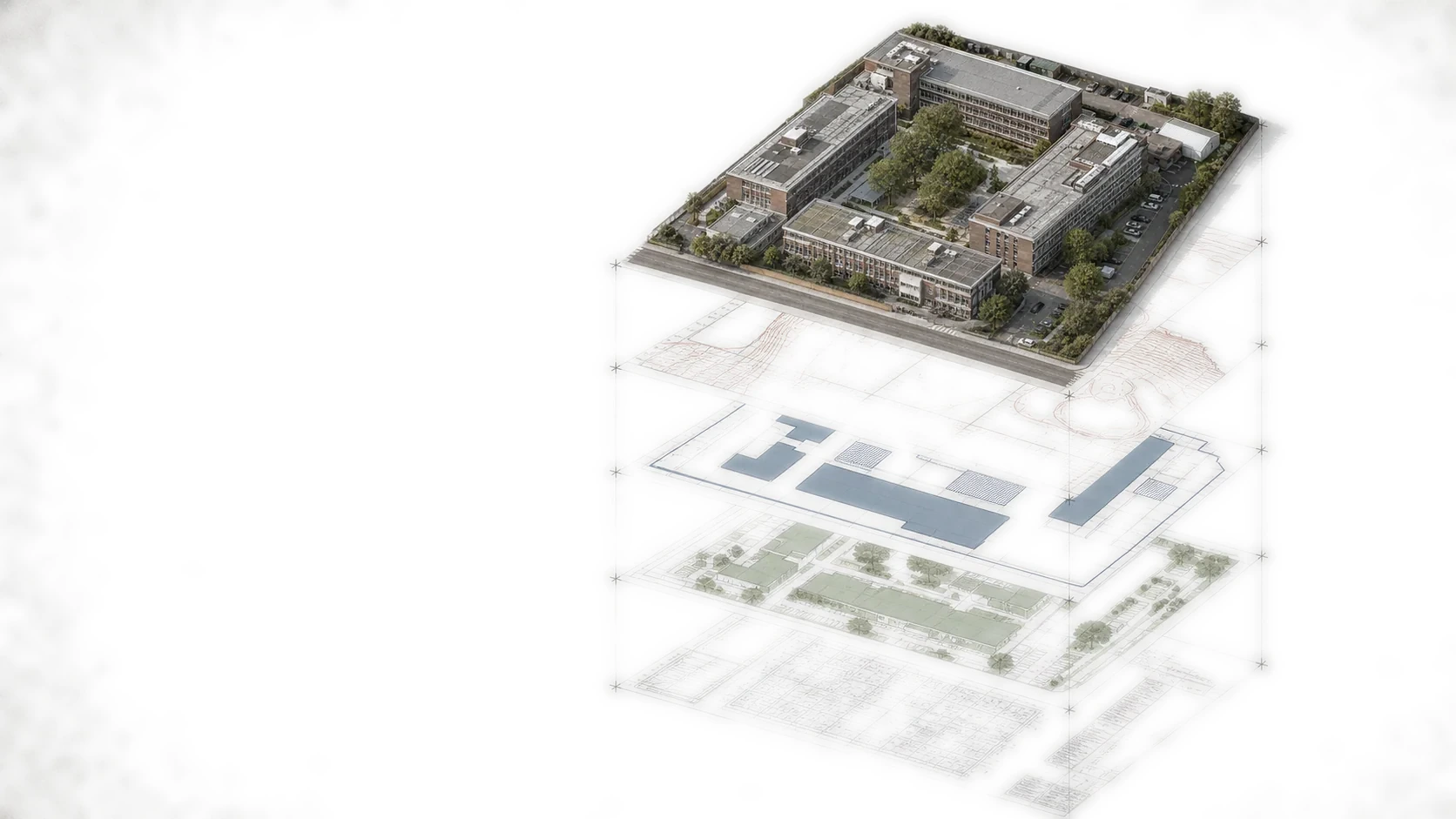
Site heat evidence review
The review is for a commercial property owner, estate or regeneration team while options can still change, before specialist studies or design commitments are fixed.
The decisionWhich heat-adaptation options can advance, which should wait, and what evidence is required next?
Capital planning, refurbishment, concept design and adaptation-investment gates.
Whether added Earth observation evidence changes the option, priority or next investigation.
Advance, defer or stop. A well-evidenced non-change remains a finding.
Synthetic technical rehearsal. The first authorised property review has not yet run.
Interactive evidence record · Sample commercial property
Move through the five states of a future review. The light architectural model establishes the property first; evidence and uncertainty appear only when their authority is clear.
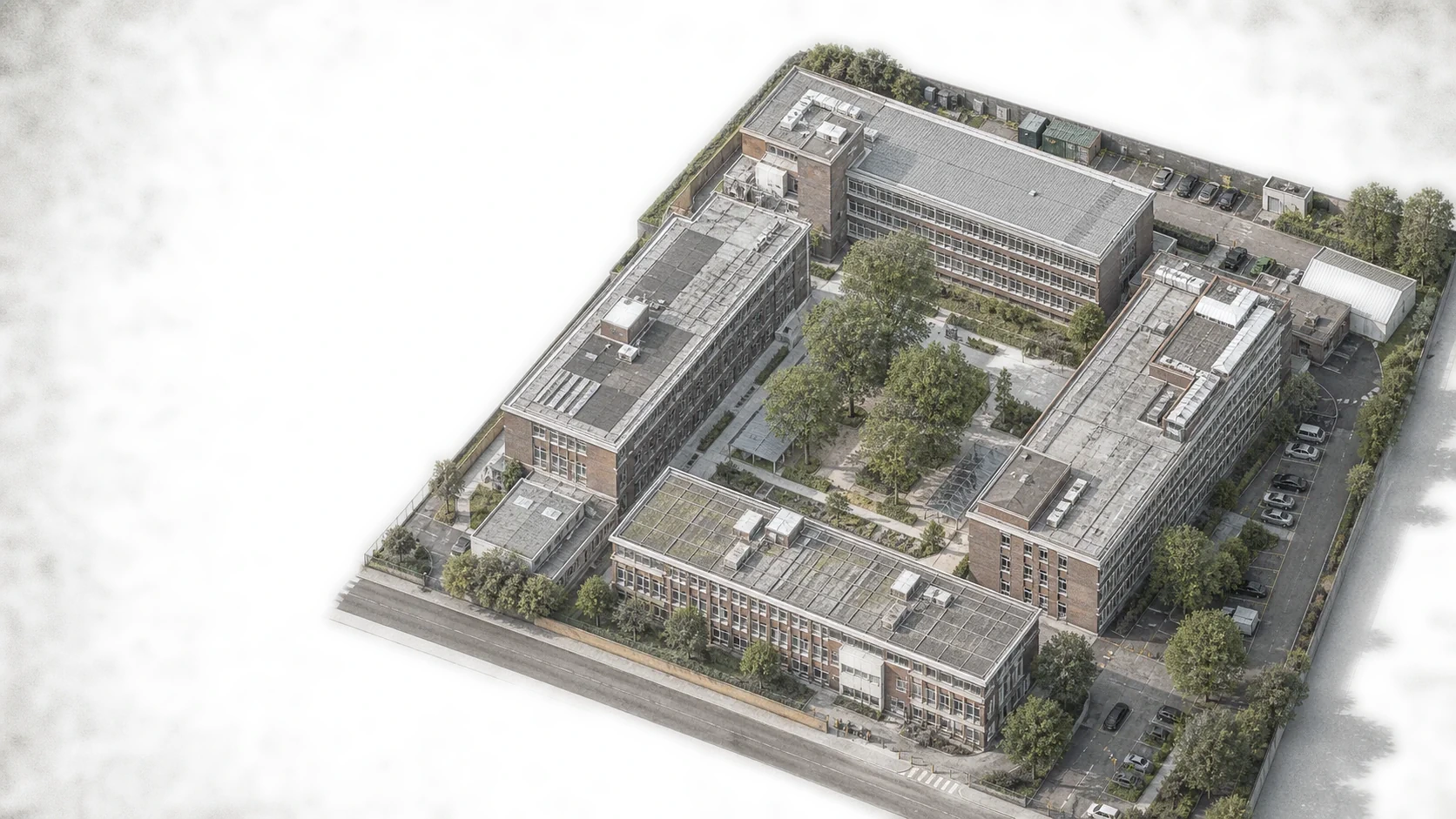
Scope view of a versioned digital property representation. Synthetic PMTiles context is visible. No operational connection or measured property result is present.
Decision contract
Fix the property, decision owner, deadline, options, permitted use and specialist route.
Property baseline
CityJSON identifies the sample buildings; the glTF mesh visualises form and landscape without claiming surveyed geometry.
Earth observation added
The cells show illustrative support geometry. A real review would expose acquisition, cloud, shadow, saturation and uncertainty checks before any property reading.
Land-surface temperature is not air temperature, indoor overheating or human thermal comfort.
Option screening
The same decision is recorded with and without the approved evidence pack. Any change in option, priority, confidence or next investigation is preserved.
Outside current authority: validated simulation, cooling magnitude, avoided loss, premium change and recommendation.
Controlled release
Sources, rights, methods, spatial support, uncertainty and reviewer dispositions remain attached to the decision.
The patch of ground a single measured value actually covers. At 100 m support one reading describes a 100 m square, not a point, so it cannot resolve one courtyard or one roof.
The checks a dataset must clear before it may enter the record: acquisition quality, cloud, shadow, saturation and usage rights. Context is drawn only where those checks pass.
An open file format for 3D city models. LoD1, level of detail 1, is its plainest form: each building is a flat-topped block with a height, carrying no roof shape or facade detail.
One file holding all the map tiles for an area. The map draws from that single archive, so there is no tile server behind it and nothing is requested from a third party.
Observed is not inferred.
Supplied is not assumed.
Simulated is not realised.
Missing is not zero.
Released is not decided.
Four-stage programme
Each stage has an accountable owner and a stop condition. Unsuitable data or missing authority reduces scope.
Fix the site, decision, owner, deadline, permitted use and professional review route.
Build the reproducible baseline, expose spatial support and complete acquisition-level quality checks.
Repeat the same task with the approved evidence pack and preserve change or non-change.
Issue the decision record, uncertainty register, reviewer disposition and next-evidence plan.
Authority boundary
Urban Ecotopia prepares the spatial record. Client-appointed specialists determine fitness for use. Financial and insurance decisions remain with the authorised model owner.
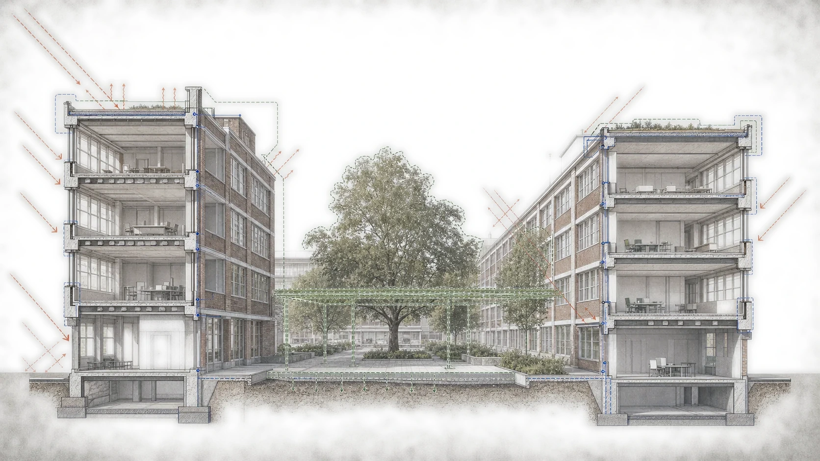
Decision contract, sources, rights, spatial support, uncertainty, missingness and versioned handover.
Building, landscape, engineering and Earth observation interpretation, option feasibility and monitoring.
Compliance, valuation, vulnerability, loss, premium, cover, credit and underwriting decisions.
The practice
Urban Ecotopia was founded by Gerardo Ezequiel Martin Carreno, an environmental scientist turned spatial data scientist and full-stack engineer based in London.
Surface heat, vegetation and urban form.
Geometry, provenance, permissions and missingness.
Reviewable interfaces and controlled professional handovers.
Property-fit conversation
Send the property type, project stage, decision date and options still open. We will first assess whether the site, timing and available evidence make a bounded review useful.
Assess your property’s fitOr write directly to gerardo@urbanecotopia.com
Do not send confidential drawings, customer data or personal information in the first email.The data controller is Urban Ecotopia Ltd, registered in England and Wales, company number 17380717, registered office 27 Old Gloucester Street, London, WC1N 3AX. Questions about this notice go to gerardo@urbanecotopia.com.
This site collects nothing. It sets no cookies, runs no analytics, carries no tracking pixel, has no contact form and loads no third-party asset at runtime. Fonts, images, scripts and map data are all served from this domain. Nothing you do here is recorded by us. Our hosting provider, Vercel, processes request logs to deliver and secure the site, as any web host must.
If you send an enquiry by email we hold that email and its contents in order to reply and, where a review follows, to carry it out. The lawful basis is legitimate interests: responding to a business enquiry you initiated. Business enquiries are kept while the conversation is live and for up to twenty-four months afterwards, then deleted.
You may ask what we hold about you, ask for it to be corrected or deleted, or object to our holding it, by writing to the address above. If you are not satisfied with the response you may complain to the Information Commissioner's Office at ico.org.uk.
This site aims to meet WCAG 2.2 level AA. That is a target, not a certified conformance claim: it has been tested by its author and has not been independently audited.
Every control is operable by keyboard and shows a visible focus outline. Text meets the 4.5:1 contrast minimum, and nothing on the page is set below eleven pixels. Headings follow a single unbroken order and the page carries a skip link.
Motion is an enhancement only. If your system asks for reduced motion, all reveal animation and camera movement is suppressed and the page renders in its final state. Content is never hidden waiting for a script: if scripting is unavailable, the whole page is shown.
The interactive 3D evidence model is a visual enhancement. It falls back to a static plate when WebGL, the model or the map data is unavailable, and the same information is carried in text alongside it. Selecting an individual building in the model currently requires a pointer, which is a known gap we are working on.
If you meet a barrier here, please write to gerardo@urbanecotopia.com and describe what you were trying to do. We will reply within five working days.